
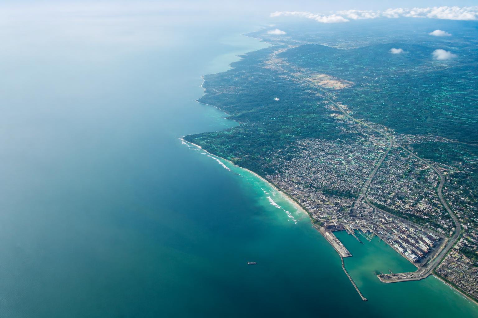
Spatial intelligence / Ghana — West Africa
We don't mapGhana — West Africa.We reveal it.
The most valuable resource in Ghana is not beneath the ground. It is the intelligence about what lies above it, below it and within it.
Ghana intelligence ecosystem
One country.
Every layer alive.
Select any signal in the living landscape. Eight connected intelligence layers turn Ghana’s land, coast, infrastructure and assets into decisions.
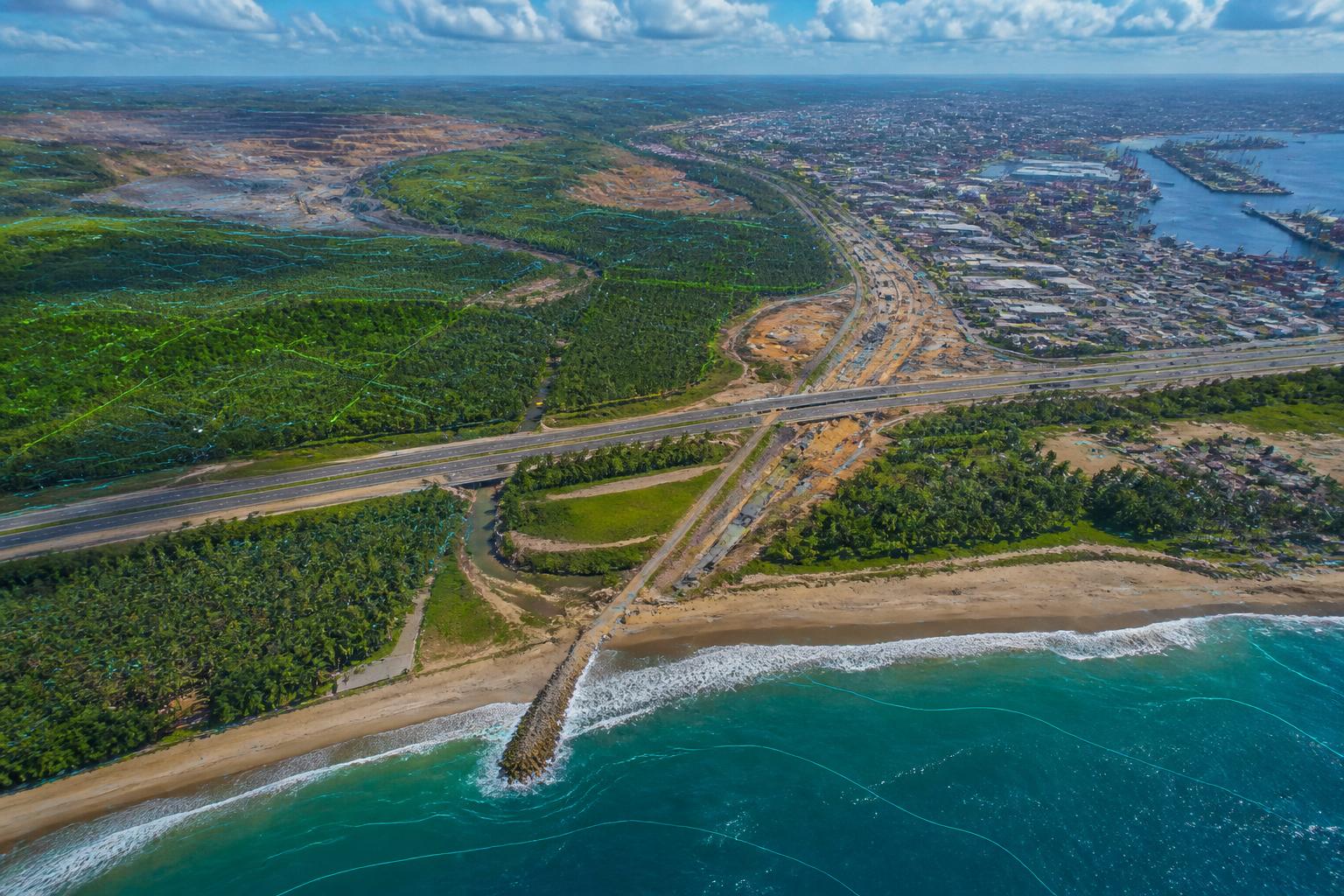
Active intelligence layer
Cadastral parcels / Western corridor
LandIntel™
Tenure security
Encroachment analysis and lender-grade title evidence.
LandIntel™
Parcel evidence, competing-claim signals and continuous encroachment watch resolved into one lender-ready tenure picture.
TerraGhana™
Terrain, drainage, soil and climate signals combined into a defensible site-suitability and earthworks decision layer.
SkyGhana™
Repeat aerial capture, automatic change detection and tolerance-based alerts for mines, corridors, farms and cities.
BuildGhana™
Independent design-versus-as-built assurance, progress measurement and funder-ready evidence for infrastructure delivery.
AssetGhana™
Geolocated asset registers, condition intelligence and BIM-ready capture for public estates and distributed infrastructure.
Subsurface Ghana™
Utility mapping, ground-penetrating radar and excavation risk analysis for safer, faster delivery beneath congested ground.
DigitalGhana™
Inspectable digital twins that join photoreal context, measurements, asset records and time-based operational evidence.
HydroGhana™
Flood, shoreline and coastal resilience intelligence that turns exposure into investable adaptation evidence.
MineGhana™
Mine reconciliation, encroachment detection and regulatory compliance intelligence for Ghanaian gold, manganese, bauxite, lithium, quarry and sand operations — surveyed tonnage against declared, disturbance against the concession, and the evidence the Minerals Commission, the EPA and a lender each require.
InfraGhana™
Corridor and public-works programme assurance for Ghana: certified payment reconciled against independently measured physical progress, right-of-way and utility relocation blockers priced, working-season schedule forecasting, escalation and out-turn cost, and the disbursement evidence the Road Fund, GETFund, the Common Fund, the World Bank, AfDB, JICA and GIIF each require.
The architecture
A continuum, not a brochure.
The old conversation
"Here is your boundary. Our survey costs GHS 12,000."
Result / a file, forgotten
The intelligence conversation
"Your site has three drainage risks that could cost GHS 450,000."
Result / defensible risk mitigation
Intelligence in operation
Continuous intelligence, not discrete surveys.
Track stockpiles, pit progression, waste stability and encroachment as an operating system — not a one-off report.
Enter this realmGhana gold export market
The film
The spatial intelligence delivery framework.
03:51 · capture → compute → consequence
Regional platform / 2024–2030
Local continuity.
Global standard.
Ghana / Consolidate
Côte d'Ivoire / Enter
Senegal + Nigeria / Connect
ECOWAS / Scale
The ground is speaking
Build with what you know — not what you assume.
Talk to our intelligence team
Tell us the decision you need to make. We reply within one working day.